Skip to content
Once in The NL

Het Scheepvaartmuseum. The Maritime Museum

The sails of History

AmsterdamPrivate group
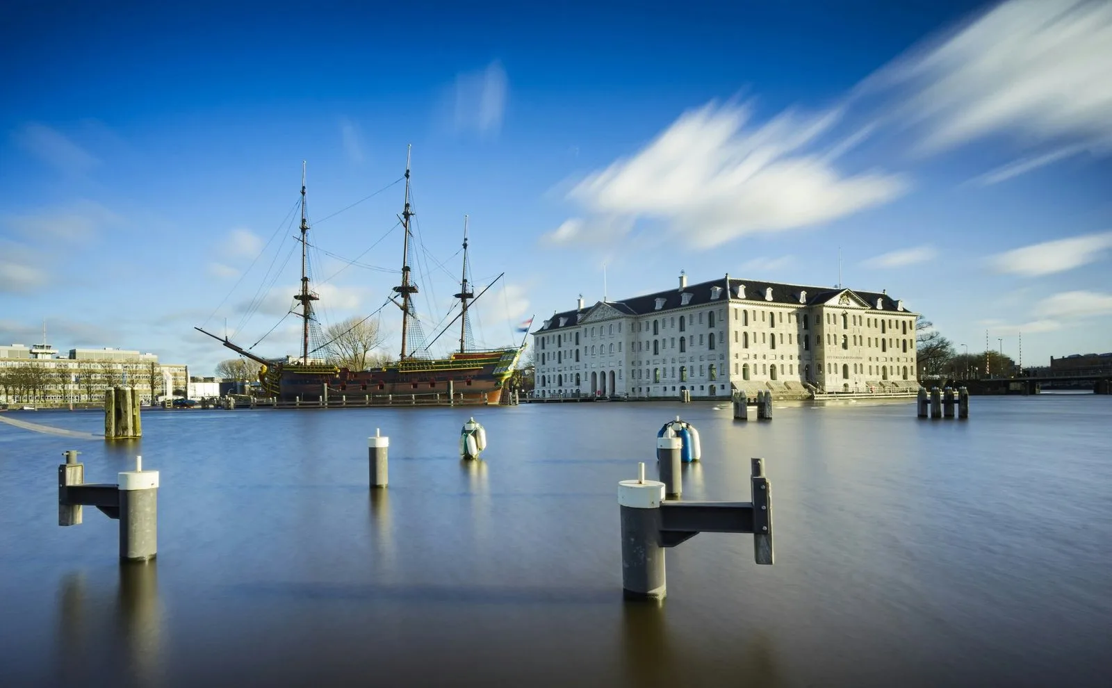
The Maritime Museum in Amsterdam with a sailing ship at the quay

The sails of history

A country smaller than many European provinces was for two hundred years the leading maritime power in the world. Its ships sailed to Japan and Brazil, everyone used its maps, and its merchants owned a fleet larger than those of England and France combined.

The Maritime Museum is not about little ships under glass. It is about how a small country on a marsh became the centre of world trade: what was done for it, what was risked, and what it cost those who put to sea.

We will see real maps, globes and ship models, and go aboard a replica of an East India Company vessel. We will talk about the glory and about the other side of it: the slave trade, the death rate on voyages, and how many of those who set out ever came home.

Some of our stops

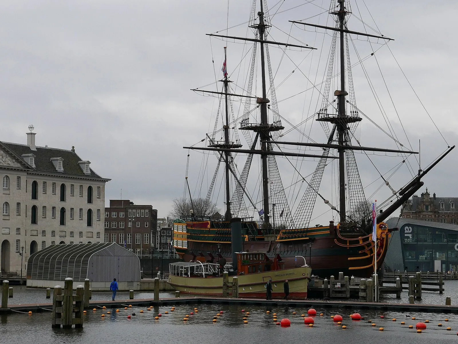
A replica of the East India Company ship Amsterdam beside the Maritime Museum

The ship Amsterdam: a replica you can board

An exact copy of an East India Company vessel, moored right beside the museum. The original set out on its very first voyage and never arrived: it was wrecked off the English coast, never having seen Asia. We will go aboard and see how a hundred people lived in a space where today a single family would not fit.

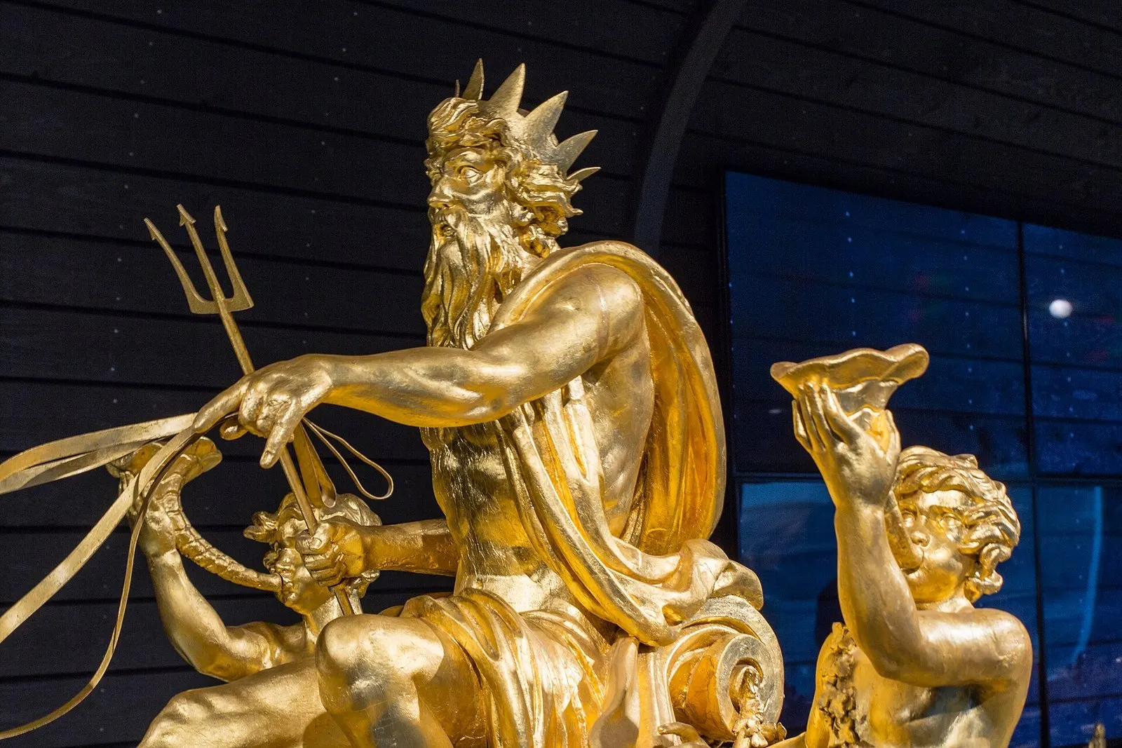
A gilded sculpture on the stern of the royal barge

The royal barge

Twenty metres of gilded timber, built for the king in 1818. It last touched the water in 1962, for a wedding, and it never will again — it is far too fragile. But now you can examine it closely: carved sea gods, thrones, lions' heads. I will tell you how many oarsmen it took and why this boat looks more like a floating throne.

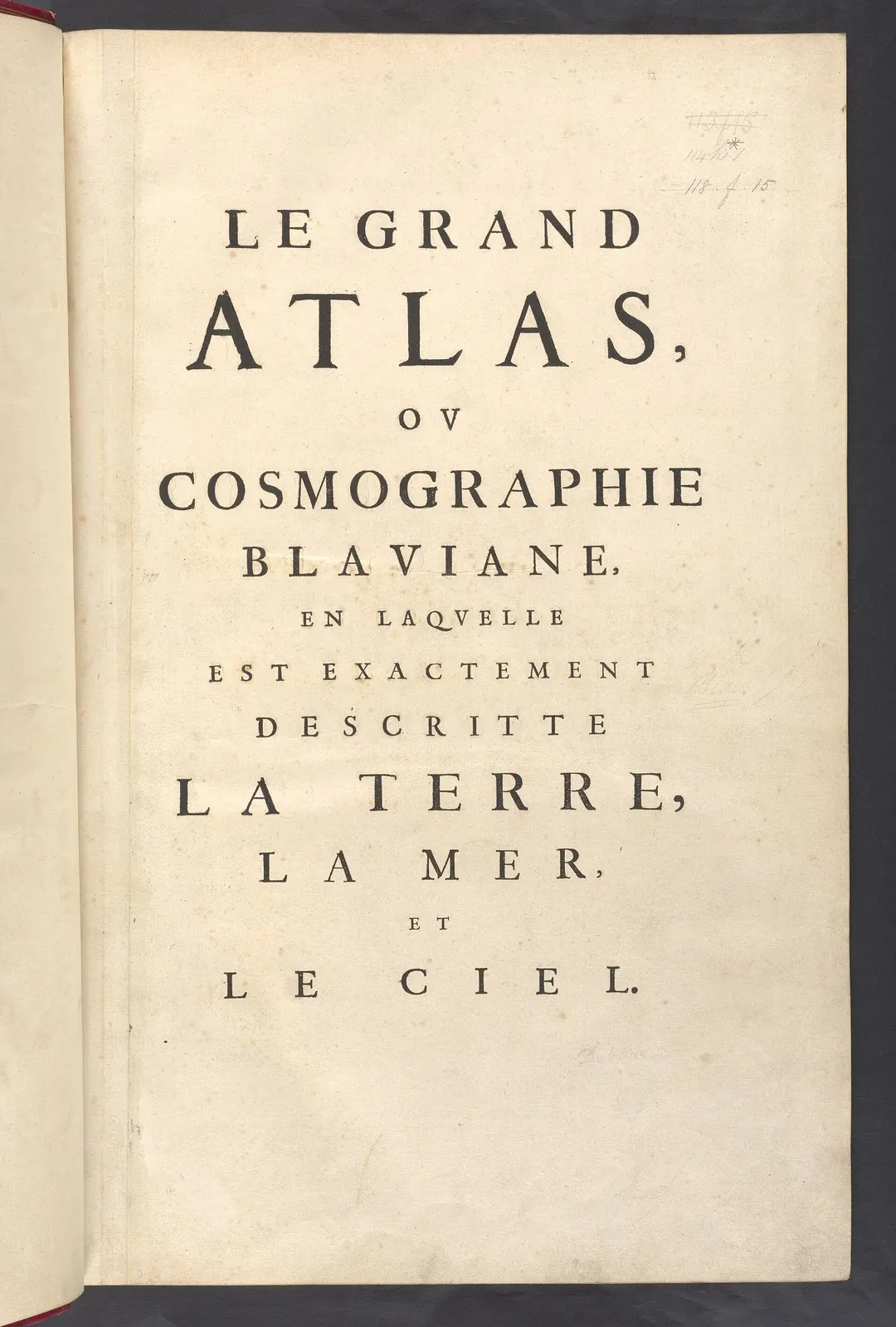
The title page of Joan Blaeu's Atlas Maior

The Blaeu Atlas: the most expensive book of its century

In the seventeenth century Amsterdam printed maps for the whole world, and Joan Blaeu's Atlas Maior was the most expensive book money could buy. Eleven volumes, six hundred maps, priced like a decent house. We will see what the world looked like to people who were only just discovering it — and how much on these maps is outright invention.

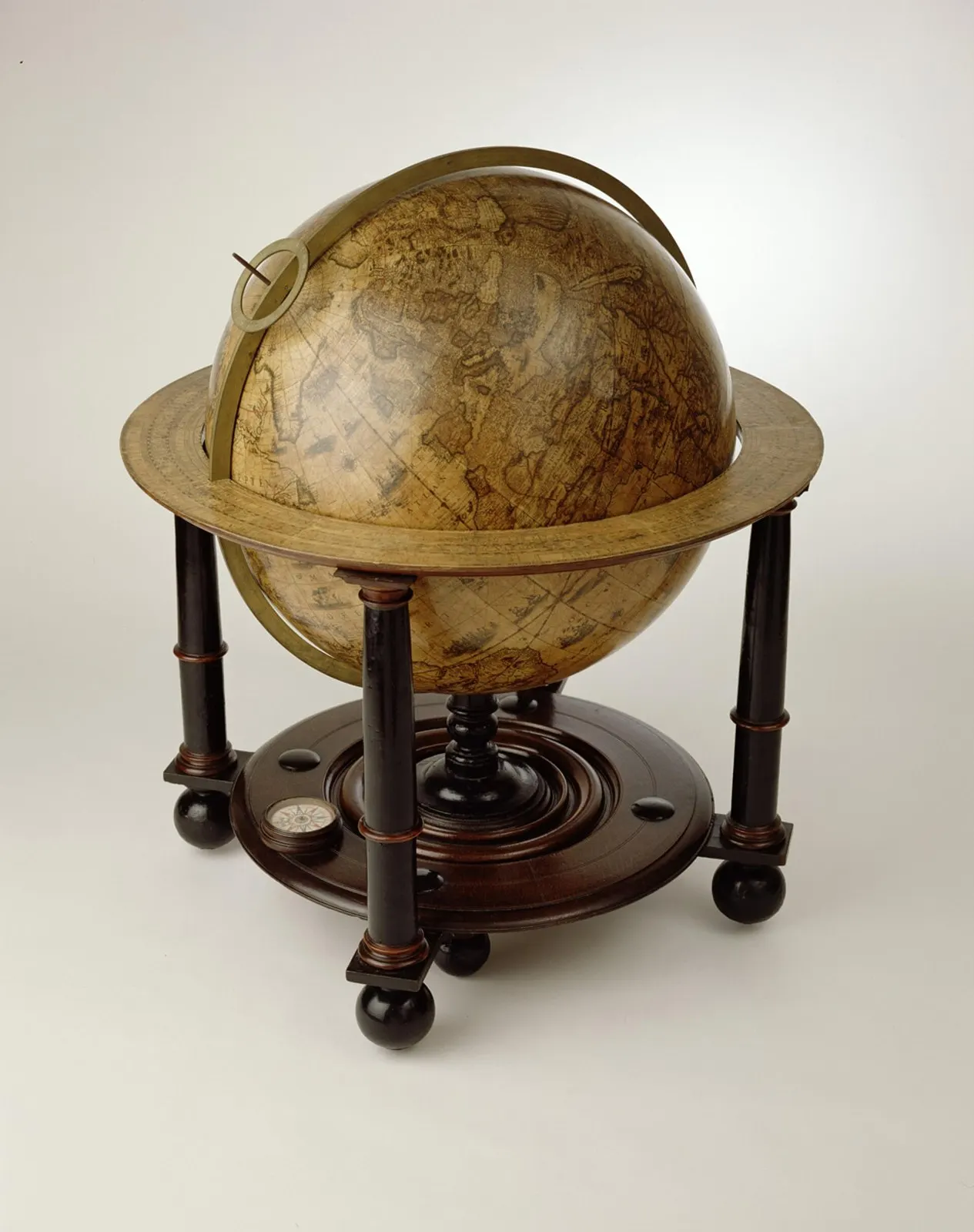
An antique Dutch globe on a wooden stand

A globe that still has blank spaces

Globes were made in pairs — terrestrial and celestial — and placed in the studies of wealthy merchants: less for science than for standing. Yet navigators learned from them. We will find the places on this globe that nobody had seen yet, and look at what was drawn there instead.

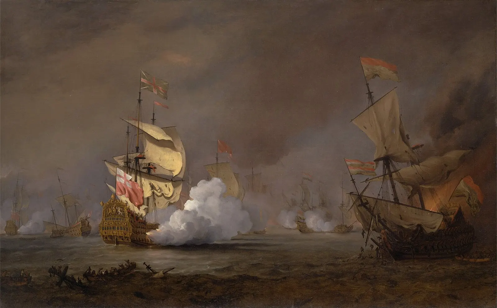
A painting of a naval battle from the Anglo-Dutch wars

Sea battles: a report from the front row

The Dutch fought England four times, and every battle was commissioned from painters. Van de Velde went to sea with the fleet and drew from a small boat, under fire. His works were later used as documents: they established who stood where. We will work out what is actually happening on this canvas.

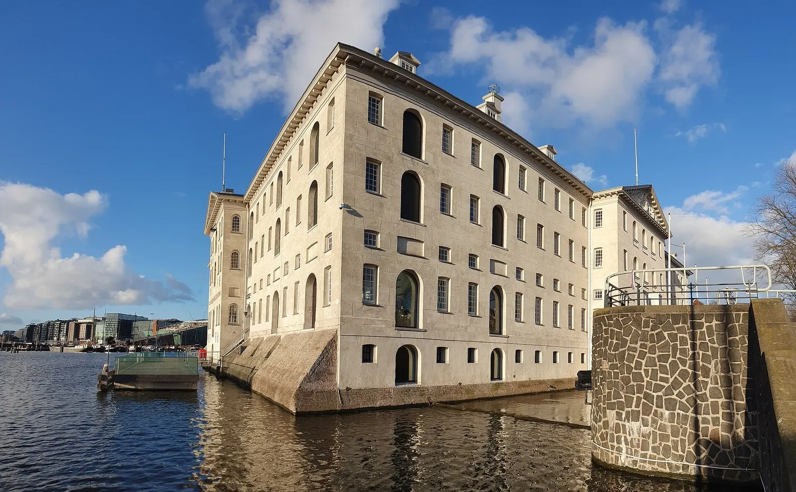
The Maritime Museum building in Amsterdam, a former Admiralty warehouse

The Admiralty building

The museum itself stands in a building of 1656 — a naval storehouse raised on piles straight in the water in nine months. Everything was kept here, from ropes to cannon. We will look at it from outside and within: the former courtyard now carries a glass roof, and it is one of the finest ceilings in the city.